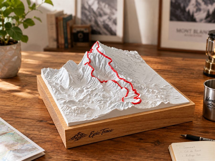
The Epic Trace creation

Custom 3D Topographic Relief

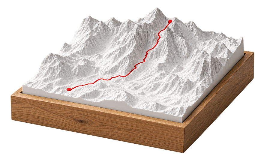
A custom topographical relief map is a physical reproduction of a real terrain: a mountain, a mountain range, a pass, a valley, or the area covered by your route. At Epic Trace, it is 3D printed from real topographical data, mounted on a solid oak base, and can feature up to three GPX tracks, each in its own color.

What is it?

An actual field, not an illustration


Each relief is built from topographic data of the terrain you choose: the ridges, valleys, and slopes are those of the real landscape. Vertical exaggeration can be applied to make the relief more legible and aesthetically pleasing — it is a decorative representation, faithful to the terrain's forms, and not a navigation tool.

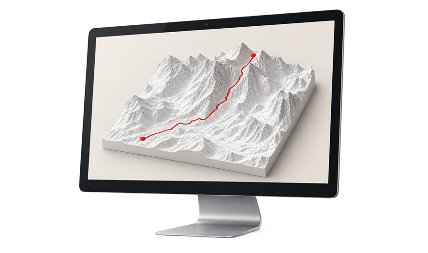
You choose the area, framing, and orientation in our configurator, and you visualize your creation in 3D before ordering.

Two ways to create

A journey, a place — or both


The relief can represent the area of your choice, with or without a trace on it.

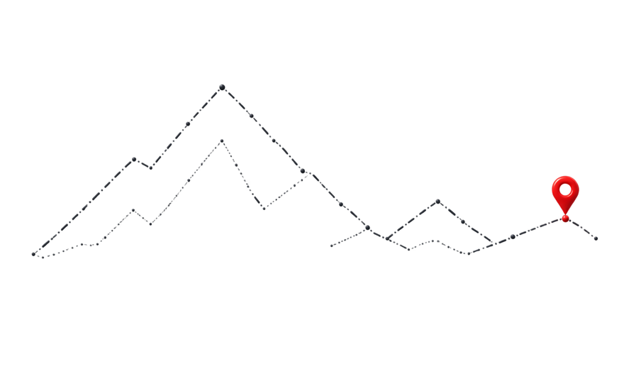
The elevation profile of your GPX track
From a route

The elevation profile of your GPX track

Trail running, cycling, hiking, triathlon, road trips: your route is integrated into the terrain it crosses, in color, exactly where you went.

Your journey, grounded in reality.

Create an elevation profile from your GPX track
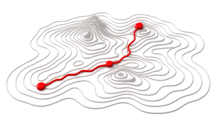
The relief of a mountain or significant place
From a place

The relief of a mountain or significant place

No trace is needed: a childhood mountain, a significant peak, a family village, or a vacation spot is enough. You select the area on the map, we craft its relief.

Some places stay with us a lifetime.

The terrain of a mountain or place that counts
A gift created from her exploit
For a gift

A gift created from her exploit

Birthday, finisher, retirement: offer a relief map of their route or mountain, with an engraving of their distance, time, or a date on the base.

Much more than an object: its story.

See our gift ideas for trail runners
How does it work

Preview your relief in 3D before ordering


You create your relief yourself in our configurator, then we manufacture your piece on demand.

01

Choose your area

A mountain, a massif, a pass, a city: you select and frame the area to be represented.

02

Add your tracks (optional)

Up to three GPX tracks on the same terrain, each in its own color.

03

Visualize in 3D and validate

You check the rendering and framing on screen before ordering: no surprises upon delivery.

04

Made in France

3D printing, optional engraving of the oak base, assembly, and quality control before shipping.

Your creation is made from the configuration you validate.

Three formats, one standard
Manufacturing

Three formats, one standard


Each relief comes in three sizes — 10 × 10, 15 × 15, and 20 × 20 cm — custom-made with the same care. Learn more about how we make each piece.

  • 3D printed relief from real topographic data
  • Solid oak base, optional engraving
  • Designed, printed, engraved, and assembled in France
  • Pre-shipment quality control
Frequently Asked Questions

Before creating your relief


A question not listed here? Write to us, we will reply within 1 to 2 working days.

What's the difference with a classic raised map?

A standard relief map depicts a fixed area, identical for everyone. An Epic Trace relief is custom-made: you choose the area, the framing, the orientation, and you can integrate your own route. Each piece is unique.

Is a GPX track mandatory?

No. The relief of a mountain, a massif, or a symbolic place is sufficient in itself. The track is an option — and you can add up to three, each in its own color.

What formats are available?

Three sizes: S (10 × 10 cm), M (15 × 15 cm), and L (20 × 20 cm). Only the scale changes, the manufacturing and detail quality are identical. For a very large format or a special project, contact us.

Can I see the result before manufacturing?

Yes. You create, view, and validate your 3D relief in the configurator before placing your order.

Create your custom topographic relief


Choose your area, add your tracks, visualize in 3D: all it takes is a location or a route to get started.